Filter Products by Grade Level
World Population Map (folded in envelope)
$10.00
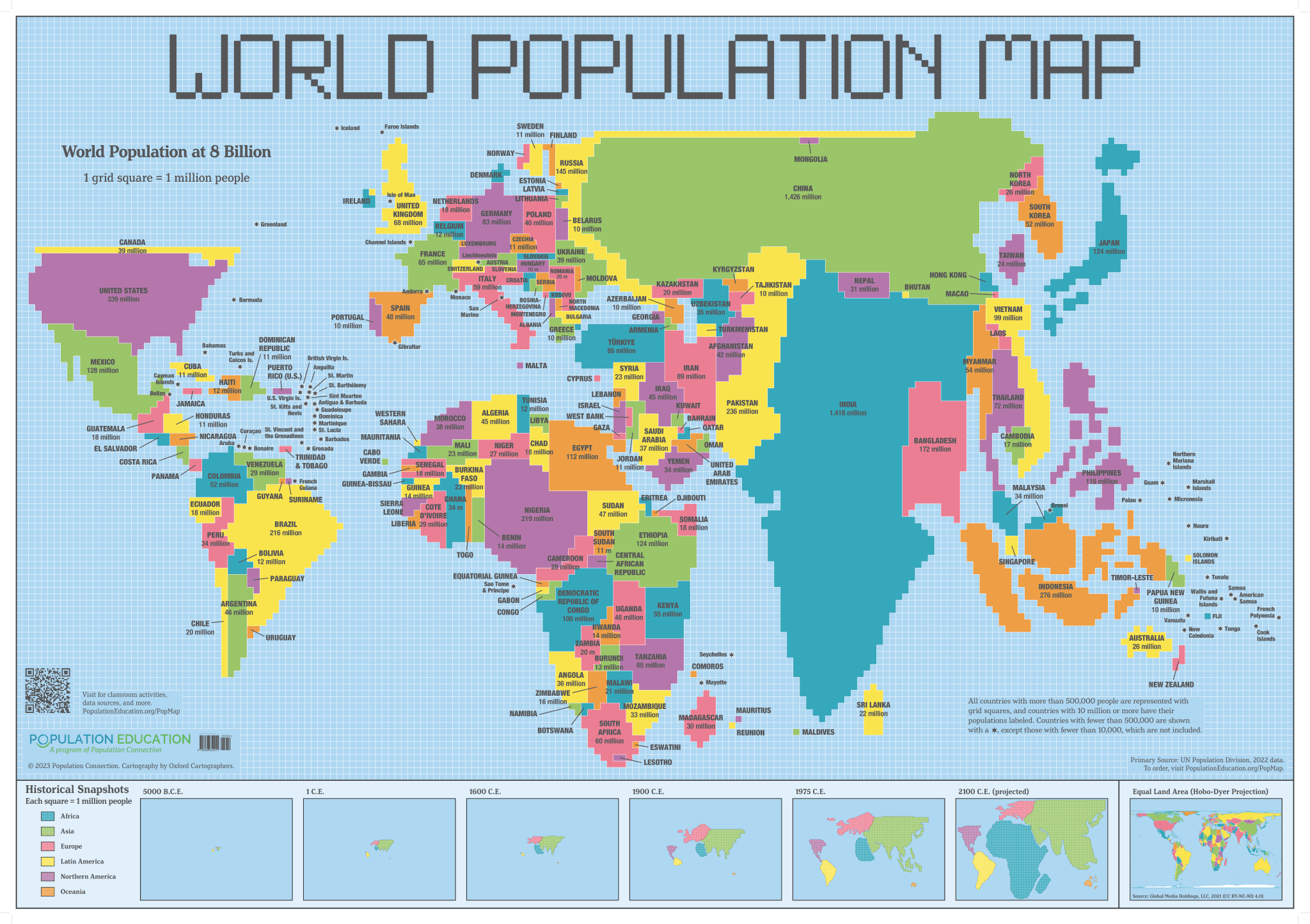
The World Population Map is a cartogram poster providing students a unique view of the Earth – the size of each country is shown in proportion to its population, rather than its land mass. Colorful squares are arranged to represent the 2022 global population of 8 billion people. The map is a powerful teaching tool for student exploration of how population data can be visually interpreted and how different map types can alter the perspective of how one sees the world.
Note: Poster is folded and will be mailed in envelope. The poster can also be purchased crease-less, rolled and mailed in a shipping tube.
Two lesson plans accompany the poster, making it easy to incorporate into your teaching beyond a classroom decoration. Population Squared challenges students to use the methods of a demographer to analyze, interpret, and evaluate conclusions on population data from the cartogram. Land Use Squared asks students to compare the cartogram map with an equal area map to explore urbanization and arable land statistics.
These activities have been designed primarily for the high school social studies classroom but all are interdisciplinary, relying on and applying knowledge and skills from mathematics, English language arts, and science.


