Resource Overview
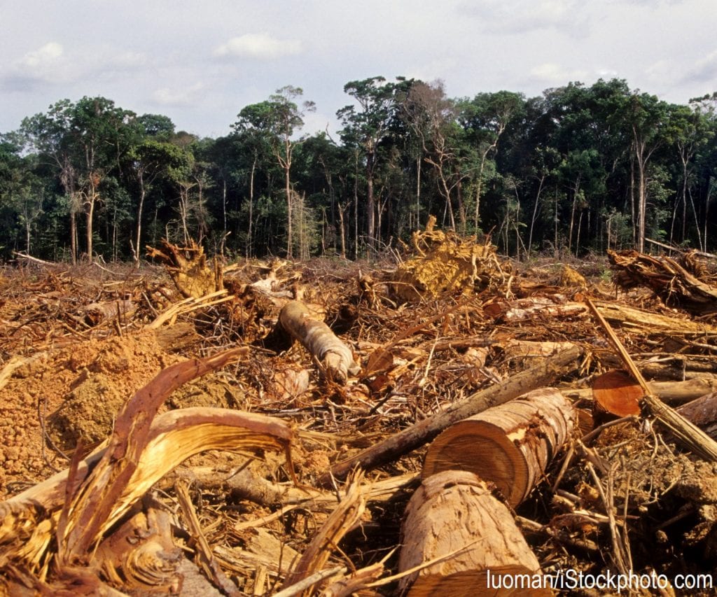
Students use the Human Land Use overlay and Timeline on www.WorldPopulationHistory.org to research how humans’ changing use of land has altered Earth’s physical landscape and then display their findings by creating a comprehensive Story Map Journal using ArcGIS.

How Do I Get This Lesson Plan?
The resource is free. Click the green button for immediate download. Download Now
Other Resources You Might Like:

Students analyze data and images about three megacities, identifying challenges and benefits of growing urbanization, and then collaborate in small... Read more »

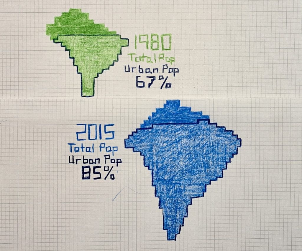
Students compare the World Population Map with an equal area map to calculate statistics related to urbanization and arable land.

Explores how the amount of carbon emitted and vulnerability to climate-related risks varies between countries.
Nice to meet you!
Tell us a bit about yourself so we can continue creating resources that meet your needs.
You’ll only need to fill out this form once. If you’ve already completed the form, you can confirm your email here.


